
Kincaid Mounds
USA / ILLINOIS / MISSISSIPPIAN

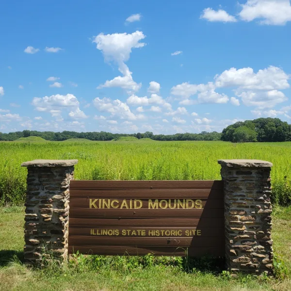
On quiet farmland along the Ohio River in southern Illinois, Kincaid Mounds spreads across a series of earthen platforms, where flat-topped mounds anchor a Mississippian ceremonial and political center.
| Name | Kincaid Mounds |
| Civilization | Mississippian |
| Location | Massac and Pope Counties, Illinois, USA |
| Elevation | 354 feet (108 meters) above sea level |
| Years Active | c. 1050 – 1400 CE |
| Primary Resources | River trade, maize agriculture |
| Site Type | Civic-ceremonial center with platform mounds |
| Key Highlights | Platform mounds, central plaza, Ohio River valley setting |
| UNESCO | No |
| Entry Fee | Free |
| Best Time to Visit | Spring and fall for cooler weather and clear views |
| Field Visit | Visited & photographed by Lost Ruins of the Americas |
Unique Features of the Kincaid Mounds Ruins
- Ohio River Overlook: The site sits on a terrace above the river bottomlands, commanding views of fertile fields and ancient trade routes.
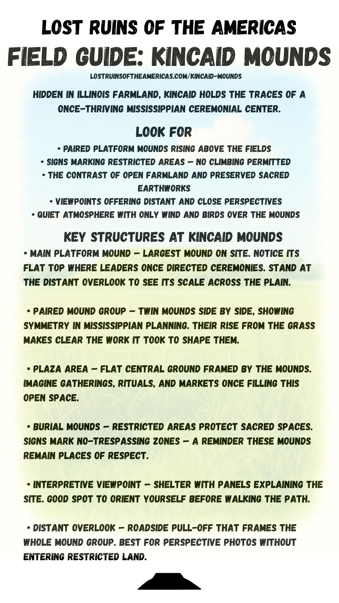
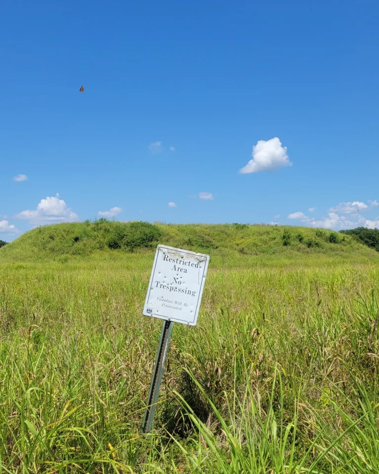
- Protected Access: Unlike many mound sites, visitors may not climb the earthworks. Viewing is limited to designated overlooks and interpretive stops, preserving the integrity of the mounds.
- Community Stewardship: The site is maintained by a combination of Illinois state management and local volunteers, giving it a strong sense of shared guardianship.
- Archaeological Significance: Excavations revealed a complex ceremonial center with platform mounds, plazas, and evidence of long-distance trade.
- Quiet Atmosphere: With its rural setting and minimal development, Kincaid offers a contemplative experience of the Mississippian past.
Location & Access
- Nearest City: Brookport, Illinois (closest town); Paducah, Kentucky (regional hub)
- Directions: Reached via rural farm roads off IL-45 and IL-145. Some approaches are gravel. Follow brown historic site signs toward Kincaid Mounds State Historic Site.
- Official Site: Illinois DNR – Kincaid Mounds
- Community Site: Kincaid Mounds Support Organization
- Opening Hours: Open year-round during daylight hours.
- Entry Fees: Free public access.
- Facilities: Small interpretive signs, two overlooks, limited parking. No restrooms onsite.
- Accessibility: Viewing areas are accessible by vehicle; walking paths are limited and the mounds themselves are off limits.
- Pro Tip: Bring binoculars or a camera zoom lens to better appreciate the mound structures from the designated overlooks.
Key Structures of Kincaid Mounds
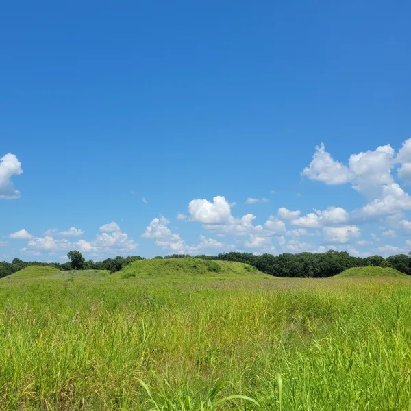
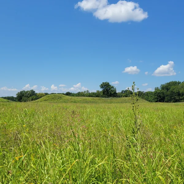
- Great Platform Mound: The tallest mound, likely supporting an elite residence or council building overlooking the plaza.
- Secondary Mounds: Smaller platforms around the plaza associated with ritual, residence, or storage.
- Central Plaza: A large open area where gatherings, rituals, and communal activities would have taken place.
- Terrace Setting: Built on a natural rise within the river bottomlands, protecting the site from flooding and offering strategic views.
- Residential Zones: Excavations indicate surrounding domestic areas where artisans and farmers supported the ceremonial core.
History and Legends
People were living on the floodplain beside Avery Lake more than a thousand years before Kincaid Mounds became a major Mississippian center. Early and Middle Woodland communities left pits, pottery, and burials here, including a carefully buried dog dating to roughly 250 BCE to 1 CE. Late Woodland occupation followed, although it was relatively sparse. Around 1050 CE, a new Mississippian community began to form along this old channel of the Ohio River. Its first generations built only modest earthworks, including a low platform beneath what became Mound 7, while houses occupied the ground that would later be cleared for the central plaza.
Between about 1150 and 1300, Kincaid expanded across roughly 70 hectares and reached its greatest physical extent. People raised platform mounds, established a broad plaza, and built neighborhoods along the natural ridges overlooking Avery Lake. Thirty-one mounds are now known across the wider site, with the largest group arranged around a plaza of roughly 20,000 to 25,000 square meters. A timber palisade with projecting bastions enclosed the settlement during this period and was rebuilt more than once. Beyond the central town, farmsteads and hamlets spread through the surrounding bottomlands, tying Kincaid to a much larger population living along the lower Ohio.
The mounds organized life around the plaza. Most houses stood at ground level, while unusually large or specialized buildings occupied mound summits. Mound 8 eventually supported a great circular building overlooking the plaza, and the long platform of Mound 10 rose along its northern side. At the eastern end of the settlement, Pope County Mound 2 served as a burial mound, with earlier log-lined tombs and later stone-lined graves. Kincaid also stood within the wider Mississippian world, but it was not simply an outpost of Cahokia. Direct Cahokian imports were remarkably scarce, and the city developed its own political and architectural course while maintaining connections with communities elsewhere in the lower Ohio, Tennessee, and Cumberland valleys. Local craftspeople also worked fluorite and
Experiences Around Kincaid Mounds
The ruins are only part of the story. Bottomland fields and wooded bluffs follow this quiet stretch of the Ohio River in southern Illinois.
–
Cross into Paducah for the National Quilt Museum, where changing exhibitions treat contemporary quilting as large-scale fiber art rather than traditional craft alone.
–
At Fort Massac State Park in Metropolis, walk the reconstructed fort grounds above the Ohio River and explore the site’s French colonial and early American history.
After about 1300, Kincaid became smaller but its central monuments became larger. The palisade contracted, neighborhoods outside it thinned, and many nearby farmsteads disappeared as some of the lower Ohio Valley population shifted toward upland settlements. Inside the reduced center, builders enlarged Mounds 8 and 10 and tightened the space around the plaza. Mound 10 absorbed earlier earthworks into a massive platform, then received an offset conical summit reached by earthen steps. A building stood on that summit around 1390, showing that major construction continued late in Kincaid’s history. Burial practices were changing at the same time, with the latest graves in Pope County Mound 2 containing more grave goods than those of earlier generations. Public building and displays of status were intensifying even as the population around the center was contracting.
By the early 1400s, occupation at Kincaid survived only in limited parts of the old town. The smaller settlements of the surrounding bottomlands had already emptied, while communities continued for a time in the uplands north of the Ohio Valley. Kincaid itself was largely depopulated by about 1450. The reason cannot be reduced to a single event. What the site records instead is a long reorganization in which people left outlying farms, concentrated within a smaller defended center, continued raising some of Kincaid’s largest monuments, and finally moved away from the mound-and-plaza town that their communities had built over nearly four centuries.
How to Get There & Where to Go Next
How to Visit Kincaid Mounds
– Step-by-step access to the site –
- St. Louis, MO – Begin south on I-64 toward Mount Vernon, IN (about 2.5 hours).
- Mount Vernon, IN – Cross into Illinois on rural highways (20–25 minutes).
- Farm Roads – Follow signs through gravel roads to the Kincaid Mounds lot (10 minutes).
- On Site – Park at the small interpretive area and follow the marked viewing points (5 minutes walk)
Tips: Roads can be rough after rain, and the site has no services. Bring water and expect limited cell signal.
Nearby Ruins You Can Visit
The Ohio River valley and surrounding regions hold powerful Mississippian and Woodland-era sites, each reflecting the mound-building traditions that tie Kincaid into a broader story.

Cahokia – The largest Mississippian city, with Monks Mound rising as a testament to urban planning and ceremony.

Towosahgy – A fortified Mississippian town in Missouri’s Bootheel, where low mounds, a central plaza, and defensive earthworks preserve the settlement’s plan.

Millstone Bluff – Petroglyphs carved into rock ledges offer a rare glimpse of Woodland-era symbolism tied to the mound world.

Download Quick Guide
Español
English
Traveler Tips
- No facilities onsite, so bring water and supplies.
- Access roads include gravel. Drive slowly and expect farm traffic.
- Stay behind fences and respect signs. The mounds are off limits to climbing.
- Best in spring and fall when crops are low and views are unobstructed.
- Combine a visit with nearby Wickliffe, Kentucky, for another Mississippian site.
Elsewhere in the Americas…
During the same centuries that Kincaid Mounds was thriving, other regions across the Americas saw powerful cities and cultures shaping their own legacies:

In the Maya lowlands, cities like Yaxchilán and Palenque rose with carved monuments, temples, and dynastic power.


The Sicán center of Batán Grande developed ceremonial complexes and elite tombs on Peru’s north coast.
Insider Explorer Advice
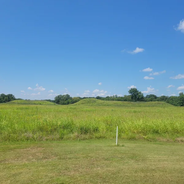
Driving in takes you down quiet farm roads, some gravel, with fields stretching out on either side. The site sits still in the bottomlands, with the mounds rising gently in the distance. Because they are off limits, the experience is about viewing rather than climbing. Two overlooks provide the best access: one farther away with a single sign pointing out the earthworks, and another closer in with a small parking area and a few interpretive panels. It feels like a place cared for both by the state and by the local community, who quietly protect it from fading back into farmland. Bring binoculars or a zoom lens if you want to pick out mound details across the fields.
Summary: Kincaid Mounds preserves a Mississippian civic and ceremonial center in the Ohio River bottomlands, where platform mounds, plaza, and quiet farmland meet in a carefully protected landscape.