
Sand Canyon Pueblo
USA / COLORADO / ANCESTRAL PUEBLOAN
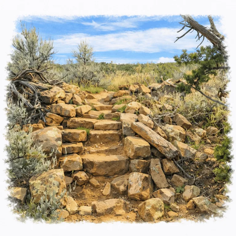
Along the rim of Sand Canyon, Sand Canyon Pueblo spreads across quiet ground, where low walls and shallow depressions trace a once large village set along the canyon edge.
| Name | Sand Canyon Pueblo |
| Civilization | Ancestral Puebloan |
| Location | Canyons of the Ancients National Monument, Montezuma County, Colorado, USA |
| Elevation | 2,073 m (6,800 ft) |
| Years Active | c. 1250 to 1280 CE |
| Primary Resources | Sandstone masonry, spring water, dryland farming |
| Site Type | Aggregated village and community center |
| Key Highlights | Enclosing wall, great kiva, D-shaped structure, Sand Canyon trail access |
| INT Airport | Albuquerque International Sunport (ABQ) |
| Entry Fee | Free |
| Best Time to Visit | Spring or fall, early morning |
| Field Visit | Visited & photographed by Lost Ruins of the Americas |
Unique Features of the Sand Canyon Pueblo Archaeological Site
- Surrounding Wall: A masonry boundary still traces much of the village.
- Kiva Depressions: Circular impressions make buried architecture readable on foot.
- Mesa-Edge Setting: The pueblo sits directly above Sand Canyon and its trail.
- Unrestored Surface: Low remains preserve the site in a quieter, less rebuilt state.
- Trailhead Access: The site also serves as a starting point for the Sand Canyon Trail.
Location & Access
- Nearest Town: Cortez, Colorado
- Directions: From Cortez, drive about 30 minutes to the Sand Canyon North Trailhead in Canyons of the Ancients National Monument, then follow the short trail to the pueblo.
- Official Site Authority: Bureau of Land Management, Sand Canyon & Rock Creek Trails
- Opening Hours: Open daily during daylight hours
- Entry Fees: Free
- Facilities: Trailhead parking, interpretive panels, open backcountry access
- Accessibility: Easy to moderate, with uneven dirt and rock surfaces that are not wheelchair accessible
- Pro Tip: Pair the visit with the Canyons of the Ancients Visitor Center and Museum for artifacts and broader site context
Highlights to Help Understand Your Visit
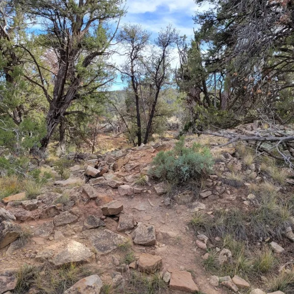
Sand Canyon Pueblo is not a site of towering walls. Its meaning lies in organization, density, and timing.
- The Village Plan Comes First: Sand Canyon Pueblo makes the most sense as a whole settlement. The wall line, roomblocks, kivas, and open space still show how the community was organized along the mesa edge.
- Kivas Read as Depressions: Some of the most important architecture is easier to see below eye level. Once the circular depressions are noticed, the rest of the site begins to come into focus.
- The Wall Still Matters: The surrounding wall helps define the pueblo as one enclosed place rather than a scatter of buildings. It remains one of the clearest clues to how the site was shaped and defended.
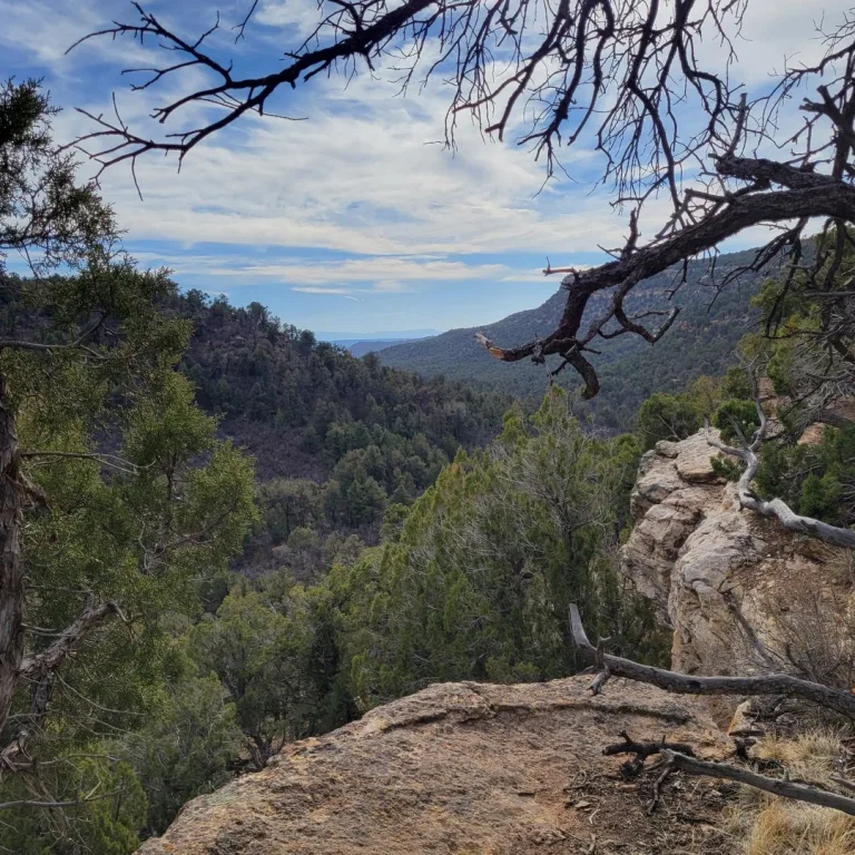
- The Canyon Edge Was Part of the Design: This was not a village set back from the landscape. Its position above Sand Canyon gave it visibility, boundary, and a direct relationship to the trail corridor below.
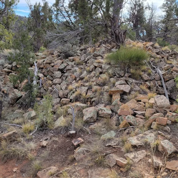
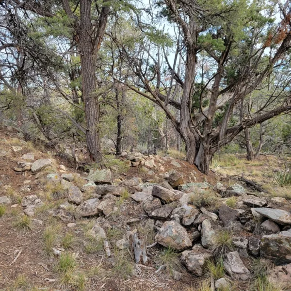
- Low Ruins Require Slow Looking: Much of the site is unrestored and understated. The more slowly it is walked, the more the outlines of rooms and communal spaces begin to appear.
Key Structures of Sand Canyon Pueblo
- Enclosing Wall: The clearest site-wide feature is still the line of the surrounding wall, which helps the whole settlement read as one enclosed village rather than a loose scatter of ruins across the mesa.
- Great Kiva: A large communal kiva formed part of the pueblo’s public architecture, though today it is understood more through the site’s plan and archaeological work than through obvious standing remains.
- D-Shaped Structure: This unusual formal building remains one of the site’s defining architectural features, even if its shape is easier to understand in the site layout than in a single quick glance on the ground.
- Kivas: Many of the village’s ceremonial spaces now appear as shallow circular depressions, and once those impressions are noticed, more of the settlement begins to come into focus.
- Roomblocks: Low masonry outlines mark where domestic rooms once formed a dense village along the mesa edge, showing how closely architecture was fitted to the rim and upper slope.
- Open Communal Space: Parts of the site still read as shared open ground between the surviving remains, helping show where movement, gathering, and public space fit within the enclosed village.
History and Legends
Sand Canyon Pueblo emerged during the late thirteenth century as one of the largest and most concentrated Ancestral Puebloan communities in the region. At its height, the settlement contained hundreds of rooms and an unusually high number of kivas, suggesting a substantial population supported by nearby agricultural fields and woodland resources.
Unlike many contemporaneous villages built on exposed mesas or along cliff faces, Sand Canyon Pueblo developed within a sheltered canyon setting. The surrounding trees offered protection from wind and sun while providing timber and fuel. This forested environment shaped both daily life and the architectural layout of the settlement. Room blocks and ceremonial structures spread across the canyon floor, forming a tightly organized community anchored by plazas and ritual spaces.
Archaeological research indicates that the village grew rapidly and may have been densely occupied for a relatively brief period. The concentration of kivas points to an active ceremonial life and a complex social structure during its peak. However, by the end of the thirteenth century, Sand Canyon Pueblo was largely abandoned. Its decline corresponds with broader regional movements, as many Ancestral Puebloan communities relocated south and east in response to environmental pressures and shifting social conditions.
Experiences Around Sand Canyon Pueblo
The ruins are only part of the story. Pinyon-juniper mesas drop into McElmo Canyon, where irrigated fields and vineyards sit beneath sandstone cliffs.
–
In Dolores, the Galloping Goose Railroad Museum preserves one of the unusual railcars built for the Rio Grande Southern Railroad, alongside exhibits on the line that once crossed the San Juan Mountains.
–
Farther north, McPhee Reservoir opens into long arms of water beneath forested mesas, with boating and shoreline recreation in the San Juan National Forest.
Today, the site preserves the original ground plan of the village rather than reconstructed walls. Most masonry survives only as low stone outlines, requiring careful observation to distinguish architecture from the forest floor. This subtle presentation allows visitors to experience the settlement in close relationship with its natural surroundings. By moving slowly and tracing the faint lines of former walls and kivas, it becomes possible to reconstruct, in imagination, the scale and complexity of a once-thriving canyon community.
How to Get There & Where to Go Next
How to Visit Sand Canyon Pueblo
Step-by-step access to the site
- Start in Albuquerque NM take US 550 northwest to Durango, about 3.5 hours.
- Durango to Cortez CO follow US 160 west, about 45 minutes.
- Leave Cortez on US 160 drive east for about 3.5 miles.
- Turn onto County Road G follow the road about 12 miles to the Sand Canyon trailhead.
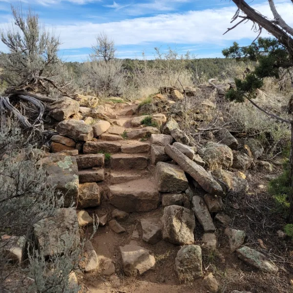
- Walk to the pueblo take the short trail from the parking area to the site.
Tips: Watch for the turn onto County Road G east of Cortez. Bring water and offline directions before leaving town.
Nearby Ruins You Can Visit
These Ancestral Puebloan sites reveal how late communities organized space, ceremony, and defense across the Four Corners landscape.

Escalante Pueblo – A mesa-top village in Dolores with a restored great kiva and museum setting, useful for seeing regional public architecture more clearly.

Sand Canyon Trail – The main trail below the pueblo passes additional archaeological sites and opens the wider canyon landscape that supported the settlement above.

Yucca House – A broad, unexcavated Ancestral Pueblo site near Cortez, where roomblocks, mounds, and a great house footprint remain visible in open ground.
Traveler Tips
- Arrive early for cooler temperatures and softer light on the mesa edge.
- Bring plenty of water. There is no water at the trailhead or on the trail.
- Expect no restrooms and limited or no cell service at the trailhead.
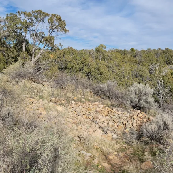
- Wear sturdy shoes. The ground is uneven, with dirt, stone, and low rubble.
- Stay on designated paths and never enter masonry remains or off-trail site areas.
Elsewhere in the Americas…
While Sand Canyon Pueblo was occupied, other societies across the Americas were also building settlements shaped by trade, defense, and regional authority.


In northern Peru, Kuélap rose behind massive stone walls on a high ridge, where the Chachapoya built one of the most striking fortified settlements in South America.

Insider Explorer Advice
Sand Canyon Pueblo rewards a slower first pass. It is close enough to Cortez for an easy morning visit, but it should not be rushed like a roadside stop. The best approach is to pause at the edge of the mesa first, take in the line of the canyon below, and then walk the site looking for what remains in the ground rather than only what still rises above it. The surviving structures are modest, the setting is calm, and much of the village now has to be reconstructed in the mind through kiva depressions, low room outlines, and the arc of the enclosing wall. Used this way, the site becomes more than a short stop in the woods. It becomes one of the clearest places in the region to feel how a large late Pueblo village once gathered itself around water, defense, and the canyon trail below.
Summary: Sand Canyon Pueblo is a subtle but powerful site where a vast Ancestral Puebloan village now lies hidden beneath trees, inviting visitors to read the land and imagine a community that once thrived in the forest.