
San Miguelito
MEXICO / QUINTANA ROO / MAYA
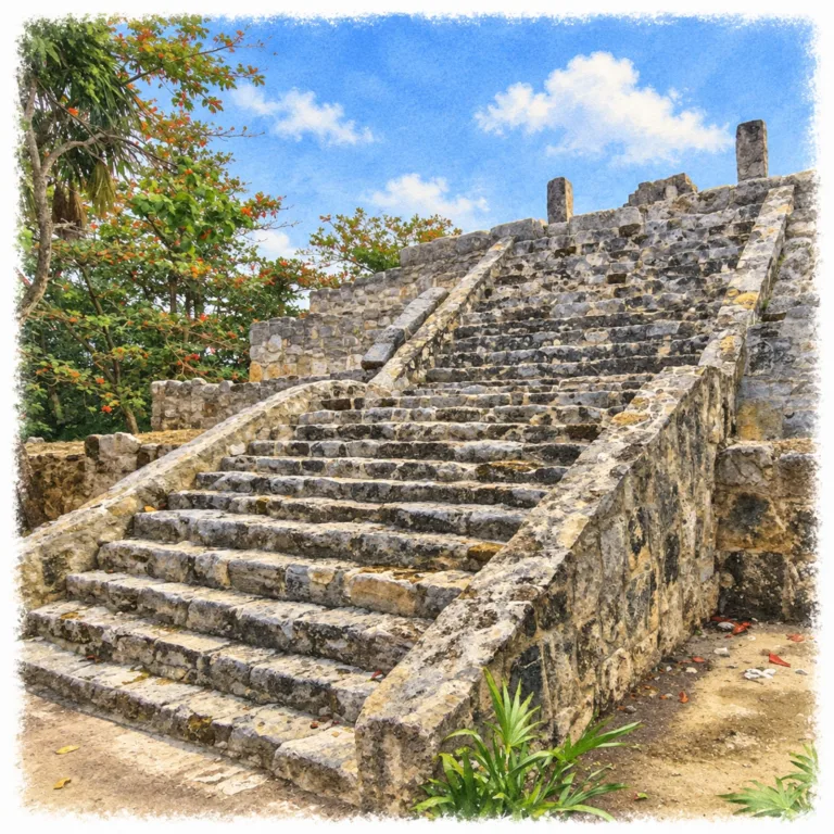
Beneath the trees behind the Maya Museum, San Miguelito preserves a coastal Maya neighborhood where columned halls, household platforms, and a temple pyramid survive within Cancún’s Hotel Zone.
| Name | San Miguelito |
| Civilization | Maya |
| Location | Cancún, Quintana Roo, Mexico |
| Elevation | Near sea level |
| Years Active | Main settlement c. 1200-1550 CE |
| Primary Resources | Fishing, salt, honey, and coastal trade |
| Site Type | Coastal residential and ceremonial settlement |
| Key Highlights | Palacio Chaak, temple pyramid, Conjunto de los Dragones |
| INT Airport | Cancún International Airport (CUN) |
| Entry Fee | MX$105 Mexican visitors and residents; MX$210 foreign visitors; museum included |
| Best Time to Visit | Morning, before the hottest part of the day |
| Field Visit | Visited and documented by Lost Ruins of the Americas |
Unique Features of the San Miguelito Archaeological Site
- Museum approach: A woodland path connects the galleries with the archaeological site.
- Four building groups: Houses, public halls, and shrines share a compact forest setting.
- Palacio Chaak: A columned public building faces a small shrine.
- Marine mural: Surviving painted fragments depict aquatic creatures.
- Connected settlement: San Miguelito and El Rey preserve parts of one ancient community.
Location & Access
- Nearest Town: Cancún, Mexico.
- Directions: Enter through the Museo Maya de Cancún at Km 16.5 on Boulevard Kukulcán, in the Hotel Zone.
- Official Website: INAH Zona Arqueológica de San Miguelito.
- Opening Hours: Tuesday to Sunday from 9:00 AM; closed Mondays. Plan to enter the ruins before 4:00 PM and confirm the day’s closing time.
- Entry Fees: MX$105 Mexican visitors and residents; MX$210 foreign visitors. Admission includes the Maya Museum.
- Facilities: Museum galleries, toilets, information desk, and bookshop.
- Accessibility: Outdoor walking paths connect the groups; uneven ground and steps limit access to parts of the ruins.
- Pro Tip: On afternoon visits, walk the ruins before spending time in the galleries.
Highlights to Help Understand Your Visit
The low residential remains explain San Miguelito as clearly as its larger buildings.
- Picture the missing houses: Low stone bases once carried walls and roofs of wood and palm. The small platforms mark homes, not unfinished monuments.
- Compare private and public space: Compact house foundations contrast with broad halls and columned entrances, showing how daily life and communal gatherings occupied different settings.
- Notice the paired buildings: A hall facing a shrine brought assembly and ceremony into the same architectural group. The open space between them matters as much as the surviving walls.
- Restore the color mentally: Bare masonry gives an incomplete picture. The pyramid’s temple once carried red and blue paint, while a smaller sanctuary preserved imagery drawn from the sea.
Key Structures of San Miguelito
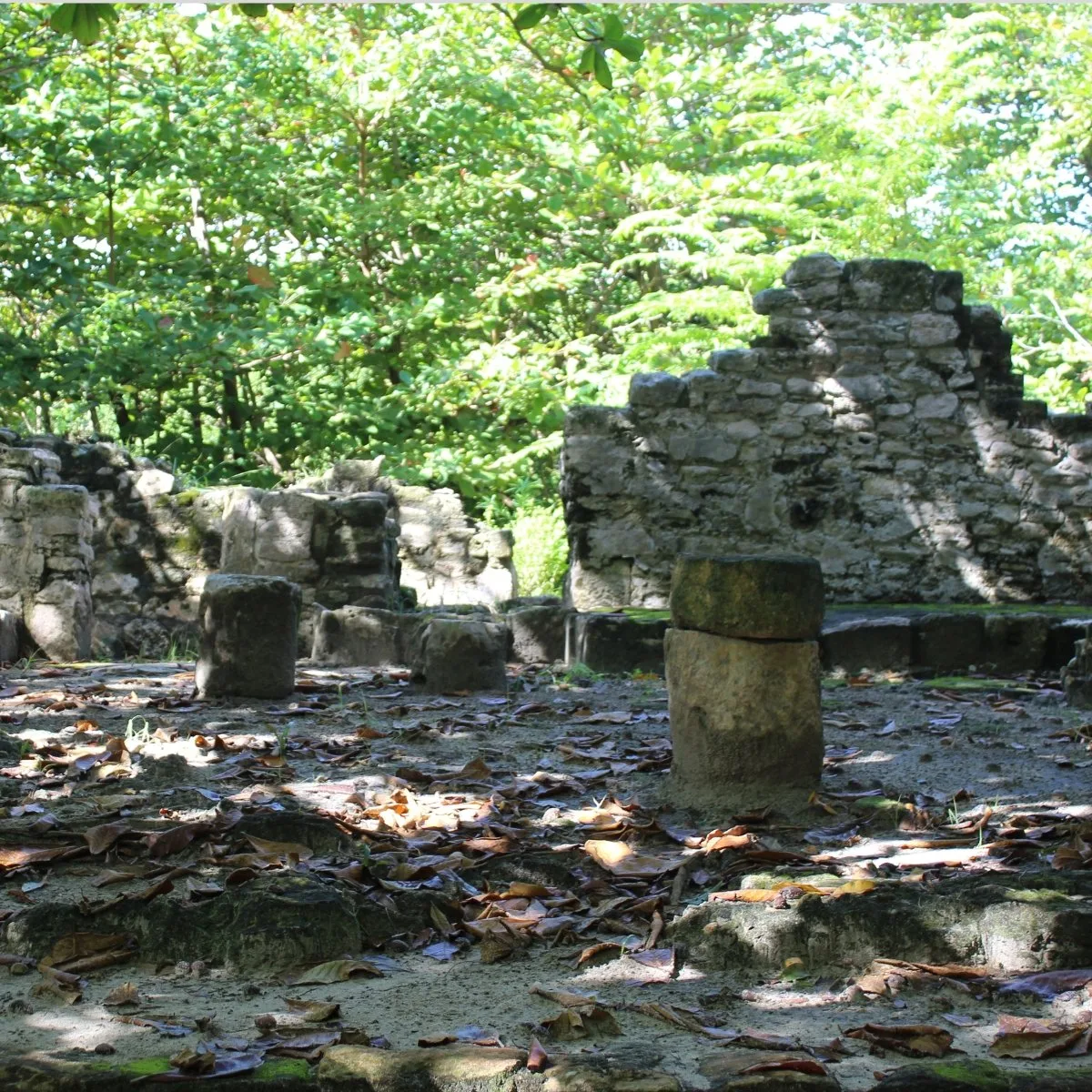
- Palacio Chaak: A broad public hall with interior benches and a columned vestibule that supported a flat roof. A small shrine stands opposite its open frontage.
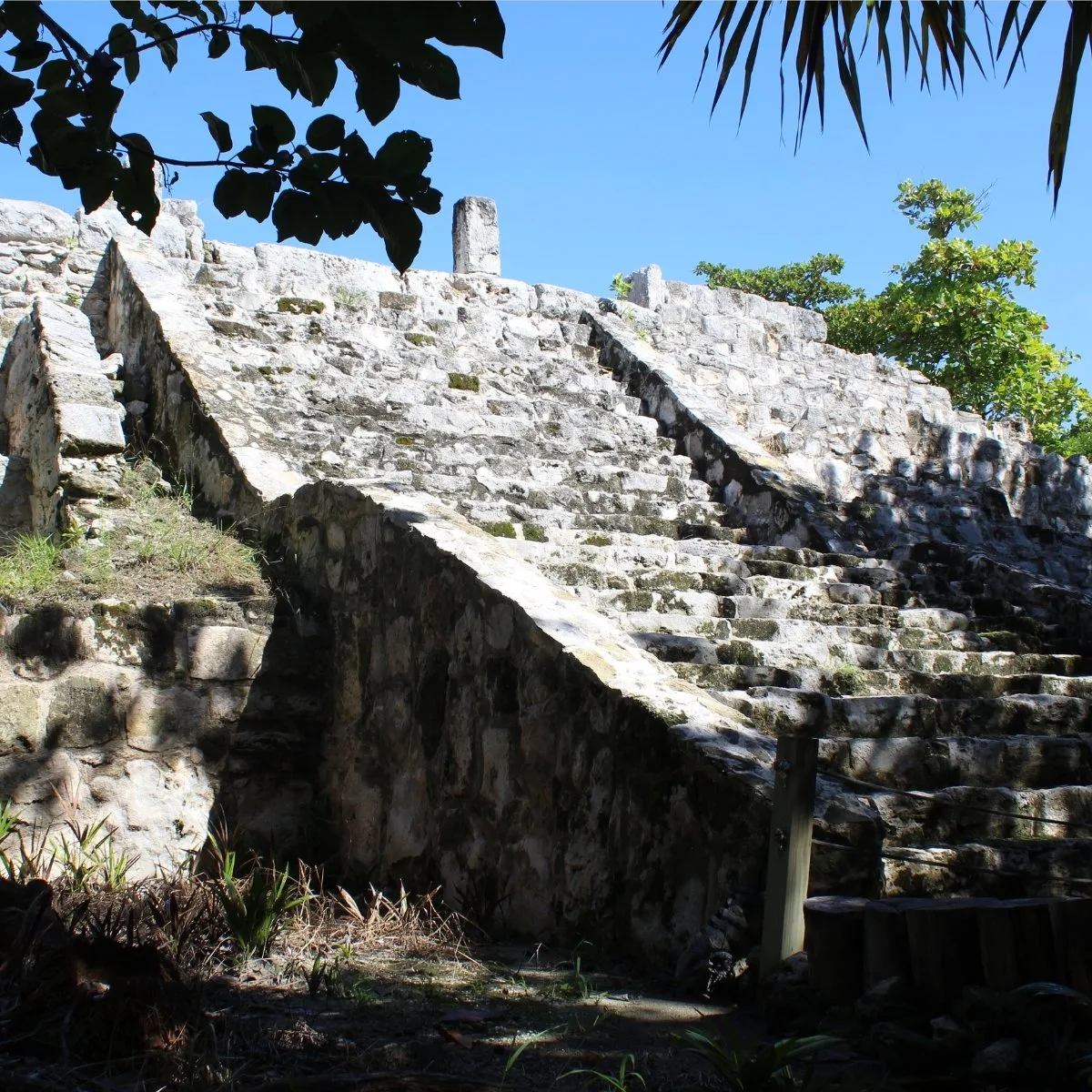
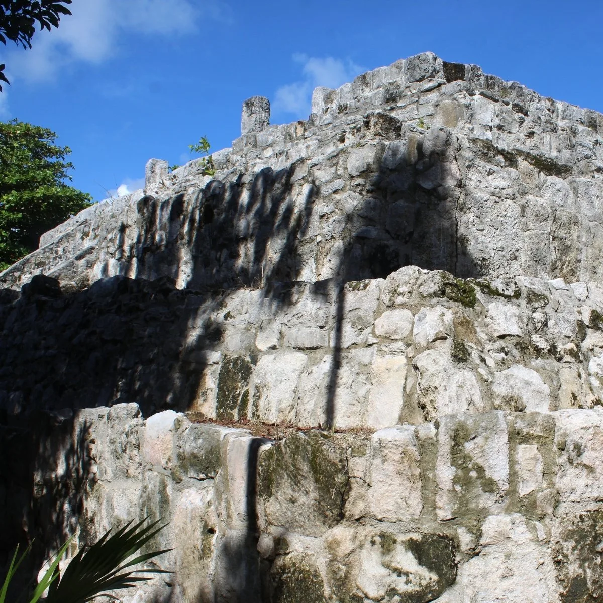
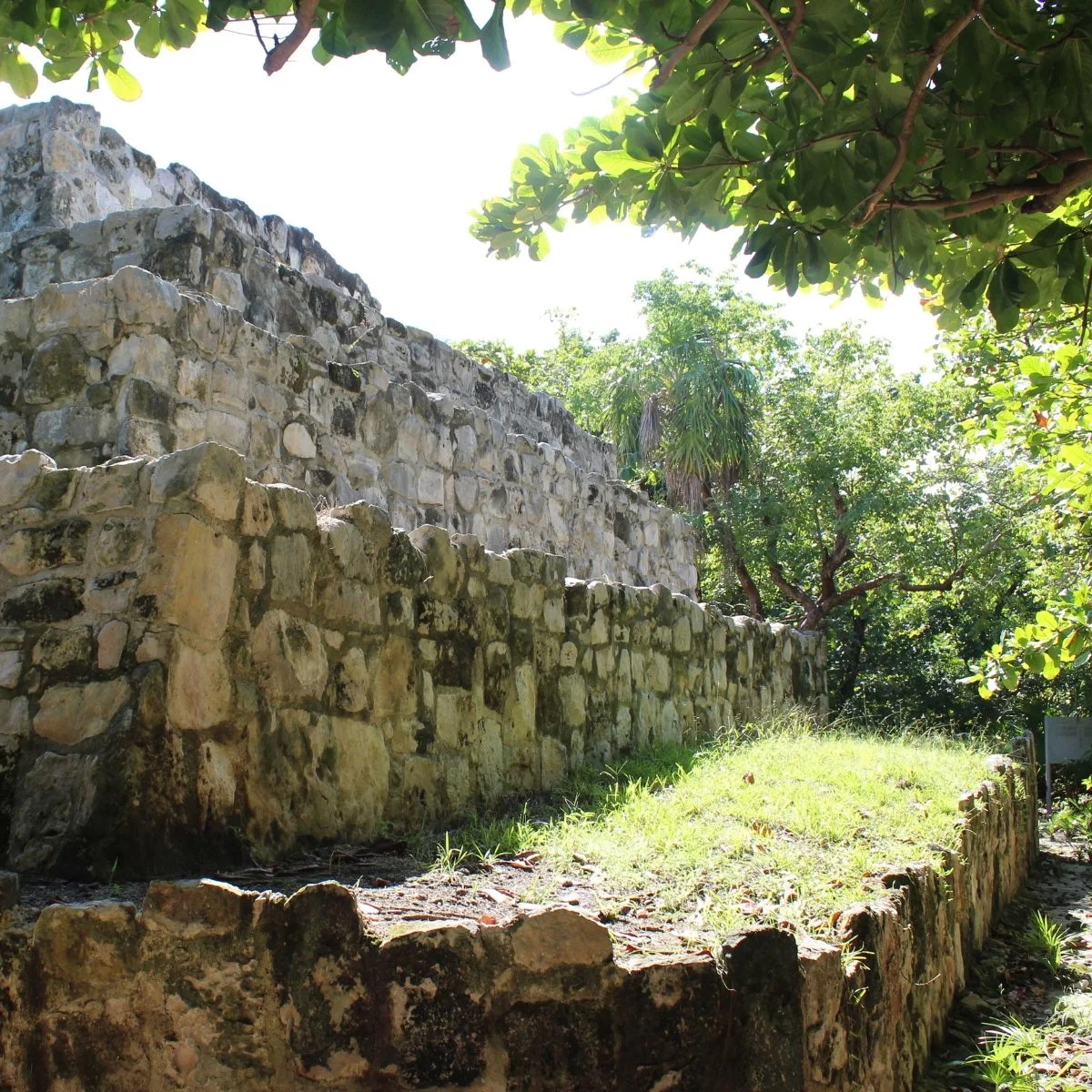
- Temple Pyramid: The site’s largest monument preserves a stairway with sloping sidewalls and the remains of a summit temple. Its base underwent at least three remodeling episodes.
- Conjunto Norte: Residential platforms preserve the northern household sector, where buildings of perishable materials once stood above low stone foundations.
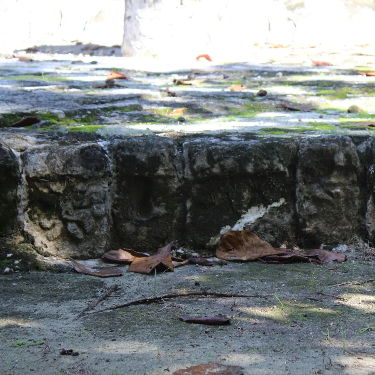
- Conjunto de los Dragones: A group of small sanctuaries and associated buildings, named after a carved serpent head. One shrine retains fragments of a marine mural.
- Conjunto Sur: Six house remains, two small altars, and a palace with two rooms form a residential group; rainwater collection features survive behind it.
- Museo Maya de Cancún: The adjoining museum places the settlement within the wider Maya world, with collections from Quintana Roo and other major Maya sites.
History and Legends
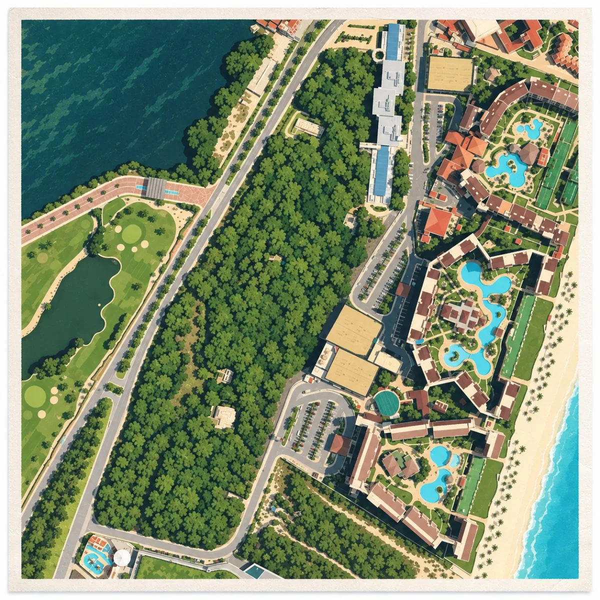
By around 1200 CE, Maya families were building the settlement now called San Miguelito on the narrow coastal land between the Caribbean and Nichupté Lagoon. The community belonged to Ecab, a territory covering part of the northeastern Yucatán Peninsula. Fishing supported its inhabitants, while salt, honey, copal, and cotton moved through the coastal economy. Objects of obsidian and other imported materials show that these households participated in exchange reaching beyond the local shoreline. Its main buildings took shape during the thirteenth and fourteenth centuries, when settlements along the eastern coast shared architectural forms and commercial connections.
The community extended beyond the boundaries of the present archaeological park. El Rey, a short distance to the south, formed another part of the same settlement. Within San Miguelito, the northern sector was largely residential, while the southern area combined more substantial residences, public buildings, and religious spaces. Families occupied houses of wood and palm set on stone foundations, living among the low platforms that remain beneath the trees. The arrangement preserves a late Maya town at household scale, with differences between ordinary dwellings and the larger buildings used by its leading groups.
As the settlement developed, columned halls gave public activity a different setting from the surrounding homes. At Palacio Chaak, benches lined an open interior behind a vestibule whose columns carried a flat roof. The building faced a shrine, bringing gatherings and ceremonies into a shared space; administrative activity may also have taken place there. Farther south, builders repeatedly enlarged the temple pyramid, remodeling its base at least three times. Its summit temple once had a projecting cornice and red and blue decoration, making the building more visually elaborate than its surviving stonework alone suggests.
Experiences Around San Miguelito
The ruins are only part of the story. Cancún’s narrow coastal strip separates Caribbean beaches from the mangrove channels and sheltered waters of Nichupté Lagoon.
–
A guided kayak outing on Nichupté follows passages between mangrove roots, with opportunities to watch herons and other waterbirds away from the beach traffic.
–
Downtown at Mercado 23, stop for cochinita pibil tacos among the produce stalls and small lunch counters, where the market still serves the city’s everyday shopping.
The sea also entered the settlement’s ceremonial imagery. In the Conjunto de los Dragones, a small sanctuary carried a painted aquatic band containing creatures interpreted as fish and a turtle. A carved serpent head found in this group gave it its modern name. Around these ceremonial buildings, residential compounds continued to accommodate everyday needs. In the Conjunto Sur, houses and a two-room palace stood near small altars and places for collecting rainwater, keeping domestic life, water storage, and ritual close together.
Spanish conquest in the sixteenth century disrupted the trading relationships that supported the coastal settlements. Occupation at San Miguelito continued into the early colonial period: a small blade made from European glass, worked with an Indigenous stone-tool technique, places activity here around 1540. Human remains from San Miguelito and El Rey also record anemia and other signs of difficult living conditions during this transition. By the middle of the century, the coastal community had dispersed, with survivors moving inland. Its abandonment belonged to the upheaval of conquest, centuries after the decline of the great Classic-period Maya cities.
How to Get There & Where to Go Next
How to Visit San Miguelito
From Cancún International Airport:
- Airport to Hotel Zone: Take an authorized taxi or prebooked transfer via the southern entrance to Boulevard Kukulcán.
- Continue to Km 16.5: Ask for Museo Maya de Cancún; allow roughly 20-30 minutes from the airport, depending on traffic.
- Museum to ruins: Enter the museum complex, then follow the signed path from the lower corridor to San Miguelito.
Tip: From the Hotel Zone, take an R1 or R2 bus toward the museum and ask for the Km 16.5 stop.
Nearby Ruins You Can Visit
El Rey and El Meco continue the coastal Maya story around Cancún; Chichén Itzá adds a longer inland day trip to an earlier regional capital.

El Rey – A straight causeway links small plazas, columned halls, and a temple pyramid, preserving another part of the community that included San Miguelito.
Chichén Itzá – Farther inland, El Castillo, extensive colonnades, and a great ballcourt reveal Maya public architecture on a much larger scale.

El Meco – North of Cancún, public buildings surround a compact plaza, with El Castillo rising above the columned halls of a coastal Maya settlement.
Traveler Tips
- Woodland paths: Closed shoes handle roots and uneven surfaces better than beach sandals.
- Shade and humidity: The tree cover softens the sun, but repellent remains useful on the forest walk.
- Time beyond the galleries: Leave roughly an hour for the ruins themselves, in addition to the museum visit.
Elsewhere in the Americas
While San Miguelito formed part of a coastal Maya community, other societies across the Americas built stone settlements along canyon rims and high Andean slopes.

Along the canyon rims of the Four Corners, Ancestral Puebloan communities built Hovenweep, fitting multistory stone towers, homes, and ceremonial kivas around sandstone ledges and boulders.


In the northern Peruvian highlands, Kuélap remained a major Chachapoya center, with circular stone houses raised above immense retaining walls overlooking the surrounding valleys.
The transition from the museum to the woodland path is worth allowing to unfold slowly. After the galleries, the first low walls can seem modest, but continuing through Palacio Chaak and the other groups gives the settlement more substance than a quick circuit suggests. San Miguelito is compact enough for an unhurried walk without becoming a full-day excursion. Its strongest contrast is close at hand: the Hotel Zone surrounds the museum, yet the trees and scattered buildings make the archaeological area feel surprisingly removed from the city.